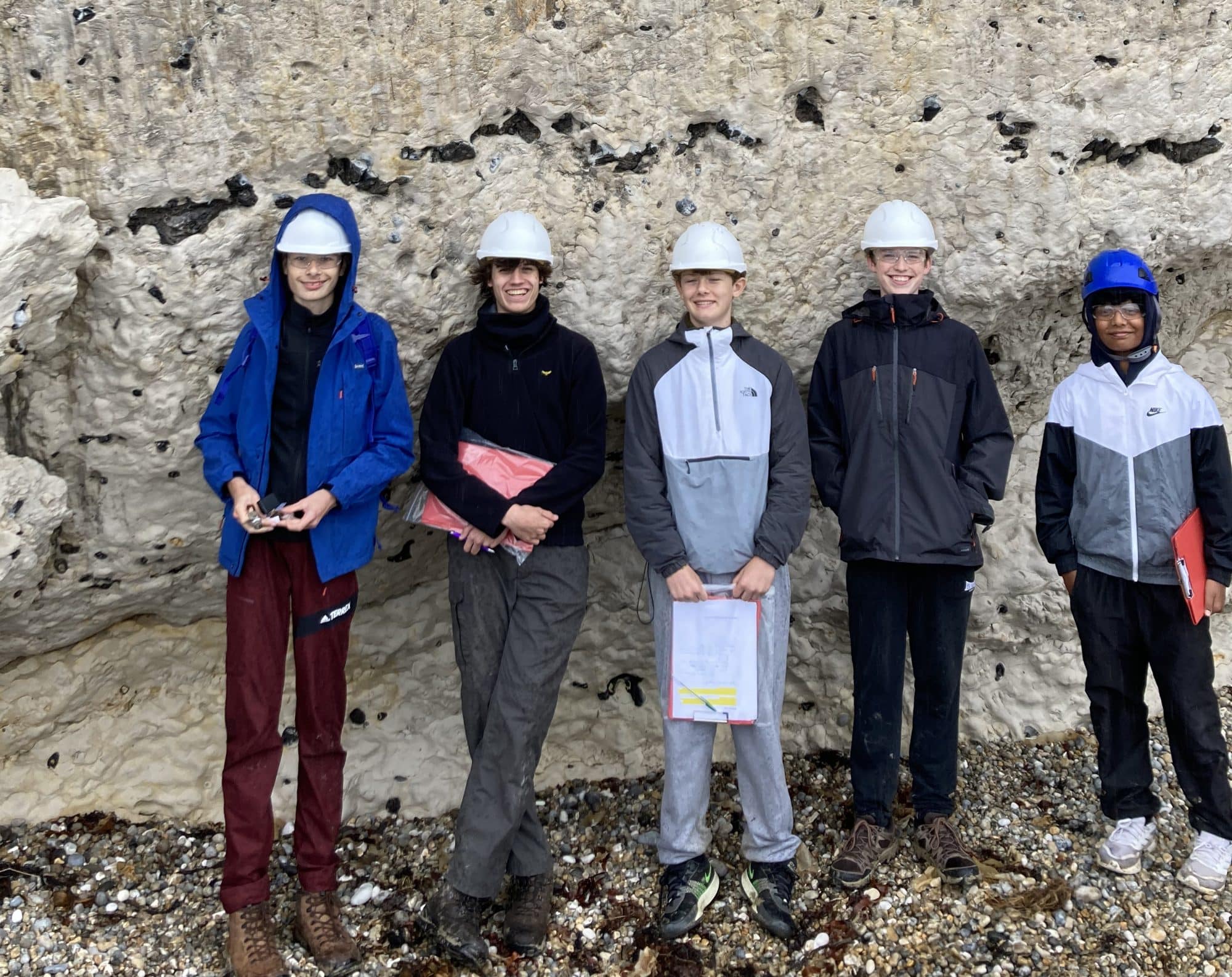
In early October, the GCSE and A Level geologists took the long journey to Man O’ War Cove and Durdle Cove on the Jurassic Coast to study the Jurassic and Cretaceous rocks.
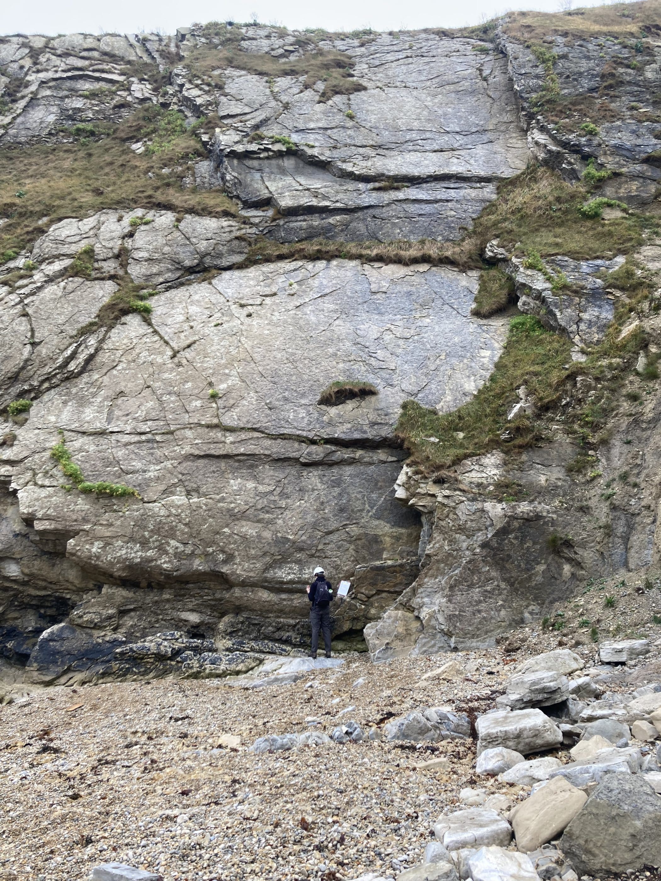
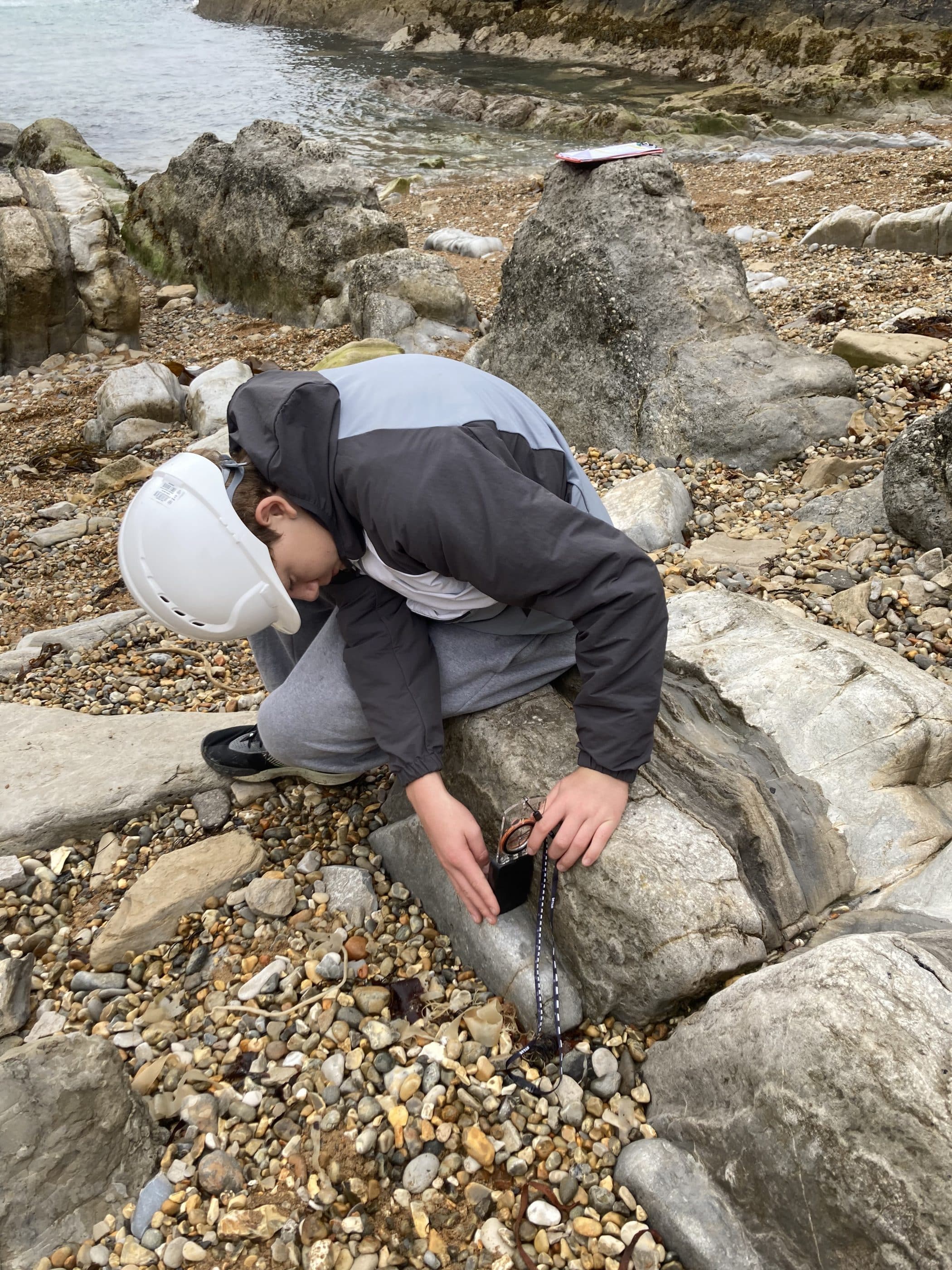
We started our work at Man O’ War Cove. Before we’d even reached the bottom of the steps, some in the party had already deduced the younging direction from the ripples on the bedding surfaces of the Cypris Freestone. It didn’t take long for everyone to divide the sequence into four major groups: the Portland, Purbeck, Wealden and Chalk. We then all practised taking dip and strike measurements, discovering that the fold structures shared an east–west strike, and created a graphic log of the Purbeck beds, correctly concluding that these were marine sediments showing a cyclical pattern of transgressions and regressions.
We spent quite a while admiring the so-called Cinder Bed, a highly fossiliferous layer full of oysters which traditionally marks the boundary between the Jurassic and the Cretaceous. After that we looked at the Wealden beds, concluding that they were terrestrial river deposits representing a major sea-level rise.
Lunch was spent watching increasingly large waves crash onto the rocks of Man O’ War Cove as Storm Amy approached and the weather started to turn. Mrs Middleton had kindly baked rock cakes for the occasion, and I’m glad to say that not only were they delicious but at less than 3 on Moh’s hardness scale no geological hammer was required to cleave them.
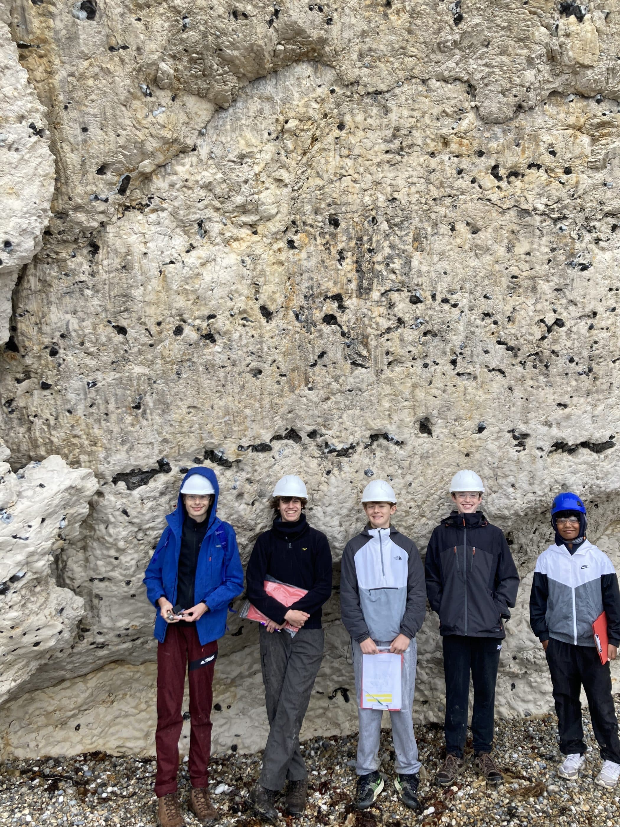
After lunch the threatened gale arrived, Mr Middleton’s umbrella was obliterated and the heavens opened. It was an excellent but unwanted demonstration of the power of weathering. Undeterred, we turned our attention to the vast chalk cliffs of Durdle Bay and spent a good deal of time examining the spectacular fault structures, including some wonderful examples of fault gouge, breccia and the best slickensides we’d ever seen. One fault in particular, a low-angle thrust with well-developed chalk and flint breccias, rewarded close inspection and a field sketch.
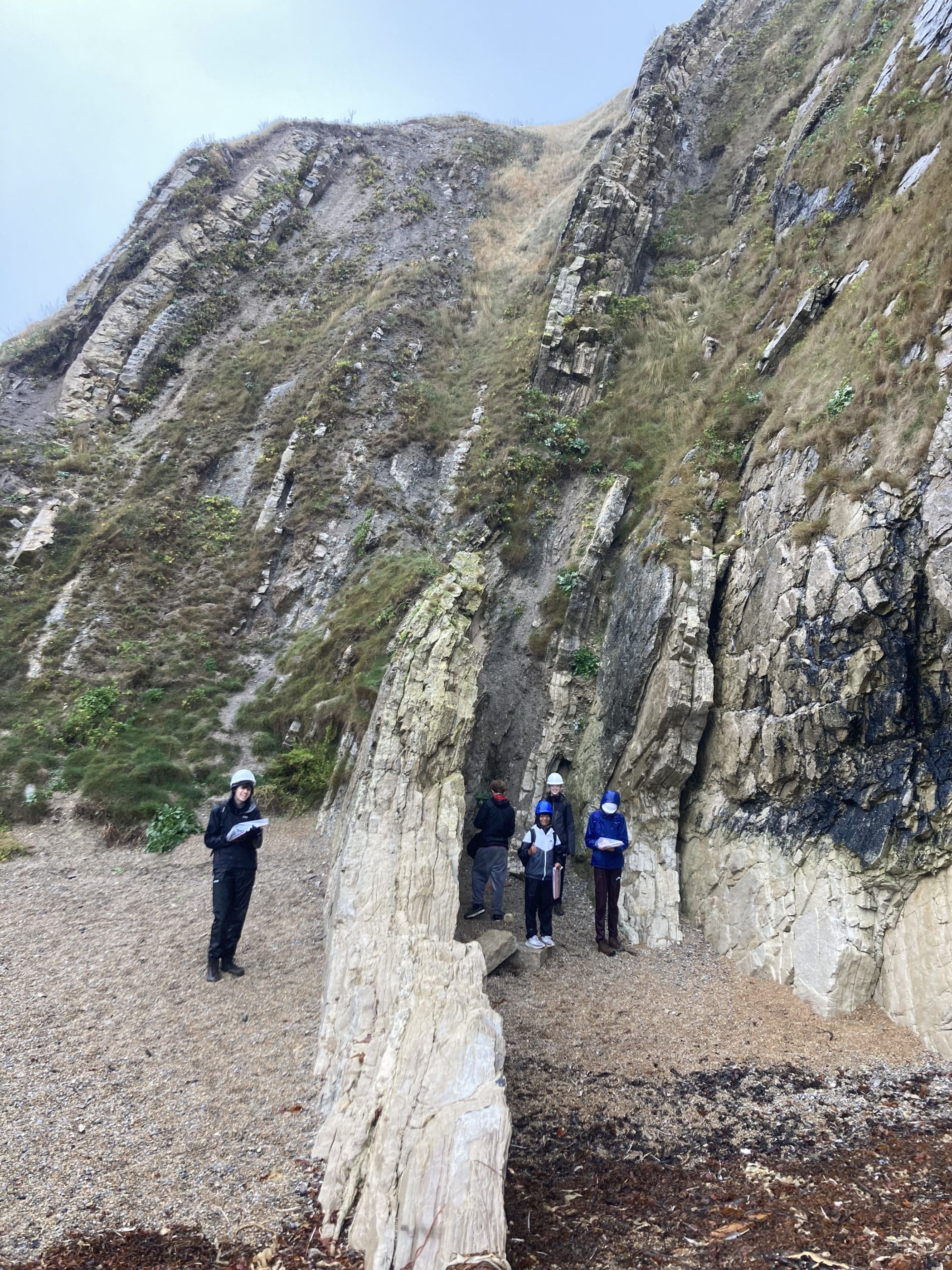
The storm broke. The sun came out, and the chalk shone brilliant white, giving us a glimpse of how beautiful the Cretaceous tropical shallow seas must have been — seas in which the quintillions of coccoliths that make up just a small part of the chalk cliffs must have lived and died. The sunshine also revealed the Isle of Portland for the first time, allowing the geological structure of this part of the Jurassic Coast to be appreciated in all its glory. Now, the steep, vertically dipping Chalk and Purbeck Beds can be seen to represent only the northern limb of a vast anticline, with the Isle of Portland illustrating the gently dipping southern limb. This structure, the Purbeck anticline, is one of several east–west striking folds and faults across southern England created by the Alpine Orogeny — Africa colliding with Europe. All were incredulous that an orogeny 1,000 miles away could produce such significant local deformation. “Far field effects” is the suitably vague explanation.
We finished the day with a quick look at Lulworth Cove and the famous Lulworth Crumple. By this point it was very wet, and Mr Middleton slipped down the hill, turning the contents of his backpack into breccia – an unwitting, but formative demonstration of comminution processes in action. Finally, we rounded off the day by gorging ourselves on hot chips before getting back on the bus for the three-hour journey to Abingdon.