The importance of spatial thinking in an uncertain world
By Saoirse Pottie, Teaching Support Coordinator (GIS)
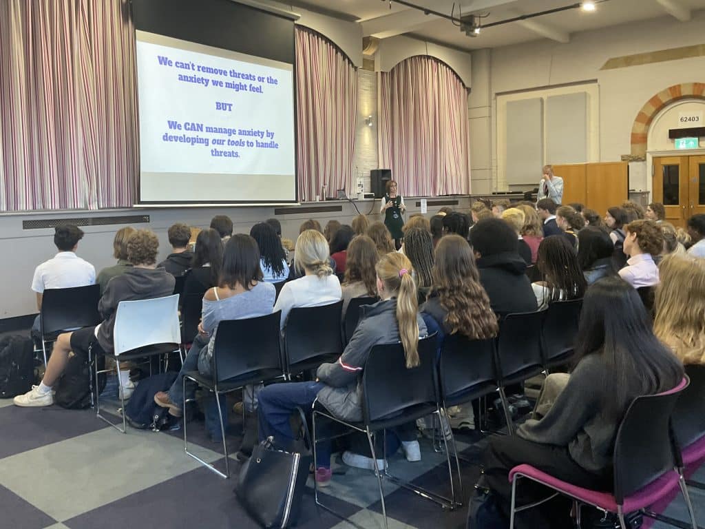
Global issues such as climate change, overpopulation, disease, resource management, political instability, and natural hazards are increasingly making headlines. While the perception of vulnerability and risk has increased, it is also true that new mapping tools have arisen to help us manage uncertainty. Mitigating the negative effects of uncertainty, especially by applying these technologies, requires spatial thinking. Students must be able to see the “big picture”, and understand how different patterns and trends are related, from a global scale all the way down to their local community.
Geographic information systems (GIS) has been noted as one of the 25 most important developments for human impact in the 20th Century (Fargher, 2013). The powerful analytical abilities of this mapping software can be used to help understand and predict events in this uncertain world. Traditionally, GIS software was complex and time-consuming; primarily built as a decision-making tool to be used by government and business. However, as the software has become more user-friendly, government policy has placed an emphasis on the use of GIS in Geography across Key Stage 3, 4 and 5. The use of GIS in schools offers students the opportunity to engage with a new way of seeing, thinking and interacting with the world around them.
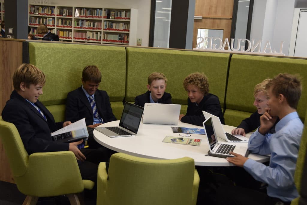
As GIS becomes increasingly embedded in university courses and the demand for employees to have GIS experience expands, Abingdon School continues to be a pioneer at implementing GIS into the educational system. GIS is now incorporated into geography lessons across all the year groups and operates as an extra-curricular activity for the lower year groups. Each summer term the sixth form students receive an intensive GIS course that prepares them for their personal investigative study and provides a solid foundation for those who may wish to study geography at university.
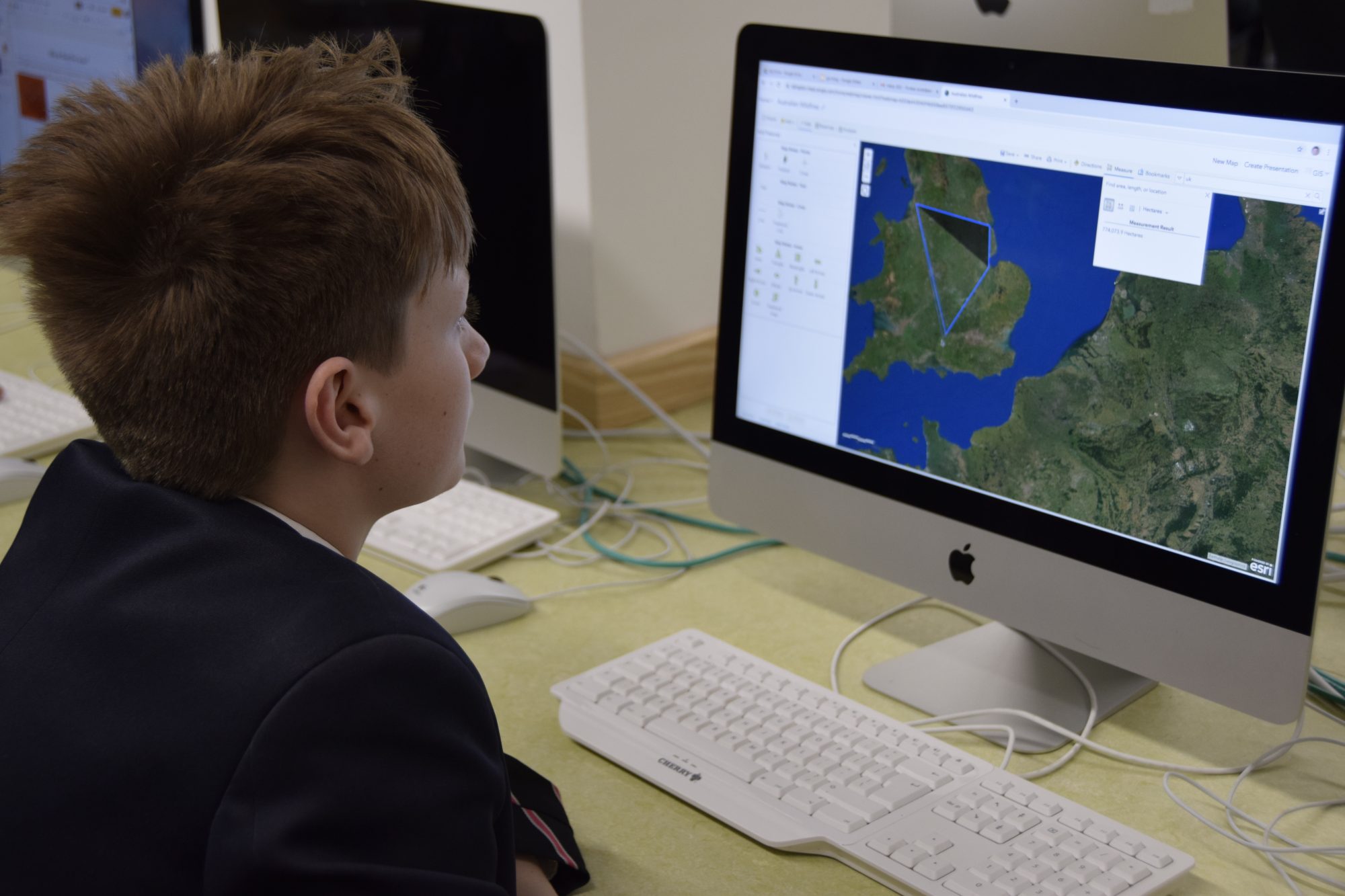
Abingdon students have been using GIS to engage with spatial data and act upon some of the big issues facing planet Earth. One such topical issue is the deforestation of the Amazon rainforest. Our third year students used GIS to monitor changing levels of deforestation and draw relationships to trade, politics and development. On a more local scale, students in the GIS Club were asked to create a proposal to identify the best locations for bins and recycling centres on the school grounds. Students collected geo-located data and added their personal understanding of various environmental and human factors to analyse and interpret the data to make justified decisions which would then better inform their proposal.
Technology is an excellent tool to engage students inside the classroom, however, the use of GIS is not simply about becoming proficient in using technology. GIS activities enhance a whole range of communication, data, media fluency, and critical thinking skills. Students who are familiar with its uses will have a better understanding of their environment and are better equipped to become strong decision-makers, analysers, entrepreneurs and leaders (Butt, 2002; Demirci, 2008).
Back to all Blogs